 Discovery Bay (Australia) »
 Discovery Bay (Australia) »
Here, you will find my best pictures from Discovery Bay, Australia (Oceania).
Below, you may also see some exquisite Discovery Bay Drone Videos and Drone Pictures by One Man Wolf Pack, as well as regular Videos from Discovery Bay!
Below, you may also see some exquisite Discovery Bay Drone Videos and Drone Pictures by One Man Wolf Pack, as well as regular Videos from Discovery Bay!
No Pictures of Discovery Bay available
No Drone Photos of Discovery Bay available
Blog Articles from Discovery Bay »
Drone Videos from Discovery Bay »
 |
 Latest Discovery Bay Drone Video
https://www.youtube.com/watch?v=dToq3zRkzCQ
Video [Internal ID 657] taken in between 2016 & 2027
and published in 2020
Drone videos and more by the One Man Wolf Pack! Digital Nomad Videographer Miroslaw Wawak, known from Netflix Series "Crime Scene Berlin: Nightlife Killer", travels all 246 countries of the world and shares his experiences, pictures & videos. Join the madness, join the Drone Around The World!
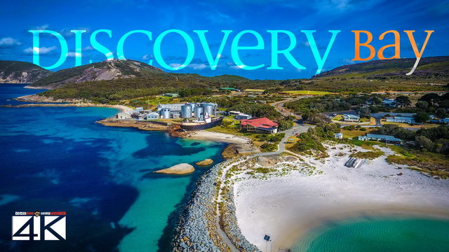
 【4K】Discovery Bay from Above - WESTERN AUSTRALIA 2020 | Cinematic Wolf Aerial™ Drone Film
» Media data: This drone video (Internal ID 657, taken in between 2016 & 2027 and published in 2020) is an extraction of my Discovery Bay 4K Drone Video Footage & Discovery Bay Drone Pictures.
About Discovery Bay: Discovery Bay is an open oceanic embayment lying along the coast of eastern South Australia and western Victoria in south-eastern Australia. Facing the Southern Ocean, Discovery Bay extends approximately 70 kilometres (43 mi) from Cape Northumberland, near Port MacDonnell, South Australia in the northwest, to Cape Bridgewater in the southeast, 20 kilometres (12 mi) west of Portland in western Victoria. Cape Northumberland is the southernmost point of mainland South Australia. The Glenelg River is the principal inflow and enters the bay near the town of Nelson. The bay was named by explorer Thomas Mitchell when he came down the river on 20 August 1836. The South Australian section of the bays coastline is protected by the Lower South East Marine Park while the Victorian section of the coast is protected in the Discovery Bay Coastal Park. The waters at the eastern end of the bay, adjacent to Cape Bridgewater, are protected by the Discovery Bay Marine National Park.

»
Stock from 160+ Countries | 2025
 Search 🔍
 Quick Links 🔥
»
 Discovery Bay
[ 1/ 1]

[43/46]
[60/60]

[41/41]

[22/26]
[14/14]

Want more? Check out the
»One Man Wolf Pack YouTube-Channel

Miroslaw Wawak
One Man Wolf Pack
Paraguay
© Copyright Information
»Full Site Notice | © One Man Wolf Pack 2025
Page Views: 1312


